
چکیده مقاله
Al Azim/Al Havizeh wetland form one of the largest wetlands inLower Mesopotamia and lies south west of Iran near the borderbetween Iran and Iraq In the past 30 years, this wetland confront anoticeable degradation and lost its area significantly In this study, 11Landsat images between 1986 and 2017 were used to monitor thechanges in wetlands’ area Support Vector Machine classifier wasemployed to generate the Land Use/Land Cover maps The resultsshowed that the areal coverage of wetland of 2823 km2 in 1986 wasreduced to 606 km2 by 2000 and restored to 1704 km2 by the year 2017 Thus the study period can be divided into 2 parts: 1986 2000 and 2000 2017 At the first period, the area of Hoor Al Azim/Al Havizehexperienced an invariable reduction and reached its minimum areafollowing the exploitation of Karkheh dam in 1998 and lost ~84% of itsarea from 1973 to 2000 Between 2000 and 2017 the area of wetlandindicates a sign of resuscitation and retake ~29% of its desiccated area In spite of this revival, the total loss of wetland is ~55% from 1973 to2017 Human activities including dam construction and oil extractionare the main parameters which contribute to Al Azim/Al Havizehwetland degradation
کلیدواژهها
نویسندگان

Hamid Tavakkoly
Department of Geography, Faculty of Literature and Humanities, Urmia University, Iran
Hesam Salmabadi
Environment Research Laboratory, School of Civil Engineering, Iran University of Science and Technology, Tehran, Iran
Mohsen Saeedi
Environment Research Laboratory, School of Civil Engineering, Iran University of Science and Technology, Tehran, Iran
شیوه ارجاع
Salmabadi, Hesam and Saeedi, Mohsen,1397,Areal fluctuations monitoring of Al-Azim/Al-Havizeh wetland during the 1986–2017 period, using time-series Landsat data,The 2nd International Conference on Strategic Ideas in Architecture, Urbanism, Geography and Sustainable Environment,Mashhad
ارائهشده در
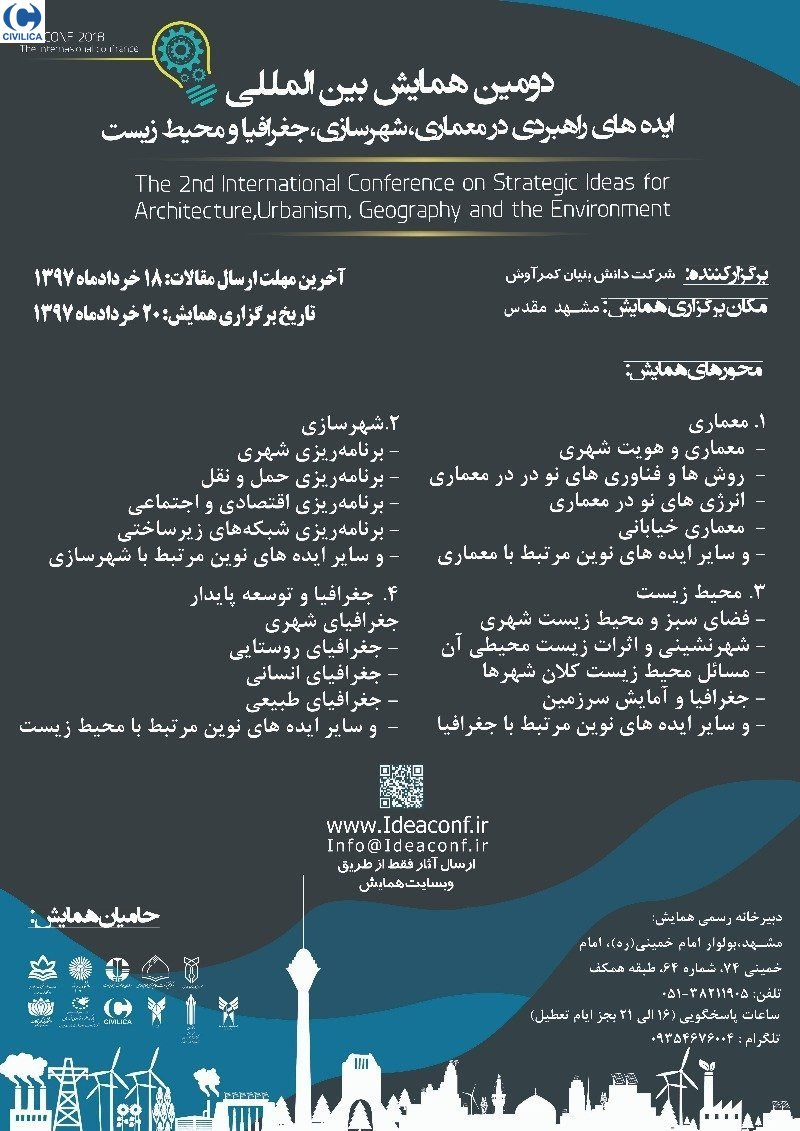 مجموعه مقالات دومین همایش بین المللی ایده های راهبردی در معماری، شهرسازی، جغرافیا و محیط زیست پایدار20 خرداد 1397 · مشهد