
چکیده مقاله
Lut Basin in central Lute, east of Iran has general direction north south Particles compose the hills/sandy done consist of quaternary silt, little clay On the base of reports by base metrological stations, prevailing wind of the region has trend 310 360N In Lute desert sand dones are appeared in various forms such as, longitudinal, transversal, star and crescent that mainly shows the direction of the prevailing winds Sands are aggregated east of Lute section also west mountain slope of the eastern Iran heights In addition digital altitudinal image and drainage system indicate the direction of water flow toward east of sand done Lut block surrounded by some basement strike slip faults Nehbandan, Drouneh and Naiband that are considered as the most active faults in Iran East Iran Mountian chain/ ranges was formed in eastern Lut by conjunction of the Lut and Afghan blocks in late Cretaceous After that due to rotating of anti clockwise of the Lut in regard to surrounding blocks and reactivity of faults around Lut, a yielded tension stress system cause spread magmatic activities from Eocene in this section Subducting of the Oman oceanic crust beneath Makranalso caused some volcanic activates in south of Lut during quaternary era Therefore all sides of Lut block surrounded by heights resulted by aforementioned activities and this sedimentary basin has placed for filling of the alluvial and aolian sediments that was erosion from the surrounding heights
کلیدواژهها
نویسندگان

Mohamad Mehdi Farahpour.
Sepide Hamidi.Somaye Derikvand.Ebrahim Gholami
Sepide Hamidi.
Mohamad Mehdi Farahpour.Somaye Derikvand.Ebrahim Gholami
Somaye Derikvand.
Mohamad Mehdi Farahpour.Sepide Hamidi.Ebrahim Gholami
Ebrahim Gholami
Mohamad Mehdi Farahpour.Sepide Hamidi.Somaye Derikvand.
شیوه ارجاع
Farahpour., Mohamad Mehdi and Hamidi., Sepide and Derikvand., Somaye and Gholami, Ebrahim,1398,Analysis of Tectonical setting of Lut sandy hills Basins,Ist International Conference on LUT DESERT TOURISM (local and International opportunities),Birjand
ارائهشده در
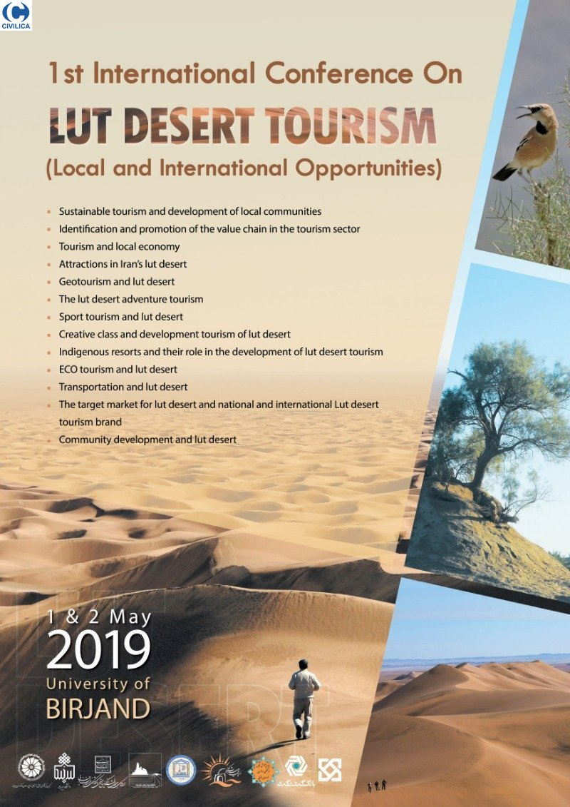 مجموعه مقالات اولین کنفرانس بین المللی گردشگری بیابان لوت؛ فرصت های محلی و بین المللی11 اردیبهشت 1398 · بیرجند